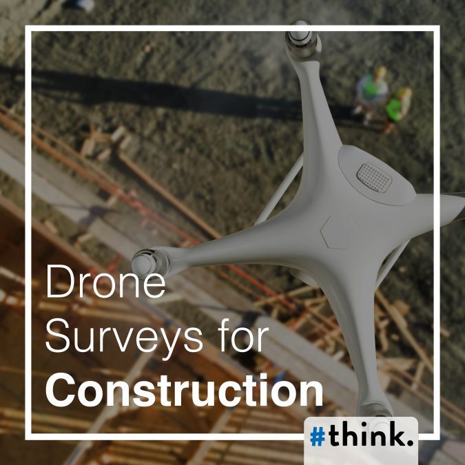
The construction industry, traditionally reliant on manual labor and on-the-ground surveys, is undergoing a significant transformation thanks to the advent of drone technology. Drones, or Unmanned Aerial Vehicles (UAVs), equipped with advanced sensors and imaging capabilities, are revolutionising the way construction projects are planned, executed, and monitored. This blog explores how drone surveys are changing the construction landscape, offering enhanced efficiency, accuracy, safety, and cost savings.
Enhanced Efficiency and Speed
One of the most significant advantages of using drones in construction is the speed at which surveys can be conducted. Traditional land surveys can take days or even weeks to complete, depending on the size and complexity of the site. Drones, however, can cover large areas in a fraction of the time. Equipped with high-resolution cameras and GPS, drones can capture detailed aerial images and data quickly, providing project managers with up-to-date site information almost in real time.
For instance, in site planning and initial surveys, drones can swiftly gather topographic data and generate 3D maps, allowing for faster decision-making and project kickoff. This rapid data acquisition can streamline the entire construction process, from initial planning to final inspection, significantly reducing project timelines.
Improved Accuracy and Data Quality
Accuracy is crucial in construction surveys, as even minor errors can lead to costly delays and rework. Drones equipped with advanced imaging technologies, such as LiDAR (Light Detection and Ranging) and photogrammetry, can capture highly accurate and detailed data. These technologies enable drones to create precise 3D models of construction sites, offering a level of detail that traditional methods struggle to achieve.
With drones, surveyors can capture data points with high level accuracy, ensuring that every aspect of the site is documented meticulously. This level of precision is particularly beneficial for tasks such as grading, excavation, and foundation work, where exact measurements are critical.
Enhanced Safety
Safety is a paramount concern in the construction industry. Traditional surveying methods often require workers to traverse hazardous terrain or operate in proximity to heavy machinery, posing significant risks. Drones mitigate these risks by allowing surveyors to conduct inspections and gather data remotely.
Drones can easily access hard-to-reach or dangerous areas, such as tall structures, steep slopes, or confined spaces, without putting human lives at risk. For example, inspecting a high-rise building’s facade for structural integrity or conducting a survey on a steep embankment can be done safely and efficiently with a drone, reducing the likelihood of accidents and injuries.
Cost Savings
While the initial investment in drone technology may seem substantial, the long-term cost savings are considerable. Drones can reduce labour costs, minimise project delays, and decrease the need for expensive rework. By providing accurate and timely data, drones help avoid costly mistakes and ensure that projects stay on track.
Additionally, drones can perform repetitive tasks, such as regular site inspections and progress monitoring, more efficiently than human workers. This automation frees up valuable human resources for more complex tasks, further reducing labor costs and enhancing overall productivity.
Real-Time Monitoring and Progress Tracking
One of the standout features of drone technology is its ability to provide real-time monitoring and progress tracking. Construction managers can use drones to conduct regular site inspections, capturing up-to-date images and data to monitor progress and identify potential issues early.
With real-time data, project managers can make informed decisions quickly, addressing any deviations from the plan before they escalate into major problems. This proactive approach ensures that projects remain on schedule and within budget, ultimately leading to more successful project outcomes.
Improved Collaboration and Communication
Effective communication and collaboration are essential for the success of any construction project. Drones facilitate better communication by providing a visual record of the site that can be easily shared with all stakeholders. High-resolution images, 3D models, and detailed maps created by drones can be integrated into project management software, allowing for seamless collaboration between architects, engineers, contractors, and clients.
This visual data can be used in meetings and presentations to provide clear and concise updates, ensuring that everyone involved has a precise understanding of the project’s status. Improved communication helps prevent misunderstandings and ensures that all team members are aligned with the project’s goals and timelines.
Environmental Impact
Drones also offer environmental benefits by reducing the need for extensive on-the-ground survey equipment and minimising the disturbance to the natural landscape. Traditional survey methods often involve heavy machinery and significant ground disturbance, which can impact local ecosystems. Drones, on the other hand, can conduct surveys with minimal environmental disruption, preserving the natural state of the construction site and surrounding areas.
Conclusion
Drones are transforming the construction industry by providing enhanced efficiency, accuracy, safety, and cost savings. Their ability to conduct rapid, accurate surveys and provide real-time data makes them invaluable tools for modern construction projects. As drone technology continues to evolve, its applications in construction will expand further, driving innovation and improving project outcomes. Embracing drone surveys is not just a technological upgrade; it is a strategic move towards a more efficient, safe, and sustainable future in construction.

